
Avenue of the Giants
United States drives

Avenue of the Giants

United States · Northern California

Thirty-One Miles Through the Ancient World

Guide statusPublished and available
Editorial updateAugust 12, 2026
Road conditionsVerify locally

The route

This verified 31-mile member journey follows the Avenue of the Giants south to north from Phillipsville to the Drury-Chaney trailhead just south of Pepperwood. Six measured stages place Myers Flat, the Humboldt Redwoods Visitor Center, Founders Grove, Rockefeller Forest and the Immortal Tree in geographic order. Rockefeller Forest is a short out-and-back on Mattole Road, so the route returns to the Avenue without unnecessary backtracking.

The official Avenue corridor continues for approximately 32 miles between Phillipsville and Pepperwood. This itinerary finishes at Drury-Chaney, then leaves the final connection to US 101 to the driver's onward plan. Drive slowly under the canopy, expect cyclists, pedestrians, wildlife and damp pavement, and use only signed pullouts. Check current Caltrans Route 254 conditions and California State Parks alerts before departure. The California Federation of Women's Clubs Grove road is currently closed to vehicles until further notice, though pedestrian day use remains available with limited parking.
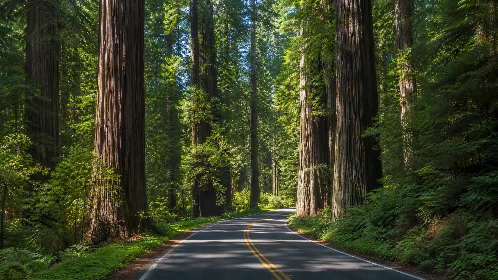
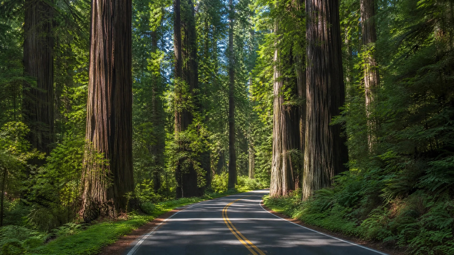
The road becomes quiet here, measured less by miles than by the scale of the forest.

The whole Drive Pack, not just a line on a map.

This complete edition includes the practical tools, considered places and editorial context listed below.

Buy this Drive Pack · $39
Route

Exact route map

The complete route, every rally point and sequential navigation links ready to open in Google Maps.

Itinerary

Full rally-point itinerary

A day-by-day sequence with distances, driving time and the stops that shape the journey.

Field notes

Road character & timing

Surface notes, corner character, suggested departure windows and the stretches that demand attention.

PDF

Downloadable roadbook

A premium PDF edition of the complete Drive Pack, designed for print and reliable offline use.

Web + PDF

Pre-drive checklist

Interactive and printable checks for the car, fuel, bookings, weather and offline navigation.

Live tools

Live departure desk

Official road-condition links and practical departure checks gathered in one place.

Curated

Stops, stays & tables

Curated accommodation, restaurants, wineries and worthwhile pauses matched to the route.

Route map

See the territory. Keep the discovery.

The shaded area shows the landscape of the drive. Members receive the verified road, sequence and navigation.

Explore the route region
  1. 01

    Day 1, Morning

    Phillipsville to Myers Flat

    9 miles · 20 minutes driving, plus the optional stop
  2. 02

    Day 1, Late Morning

    Myers Flat to the Visitor Center

    4 miles · 10 minutes driving, plus 30 minutes inside
  3. Days 2–3 · Member Drive Pack

    The rest of the journey

    4 further rally points with verified routing, timings and road notes

Day by day

The drive, unfolded.

Phillipsville to Myers Flat01

Day 1, Morning

Phillipsville to Myers Flat

The Southern Gateway

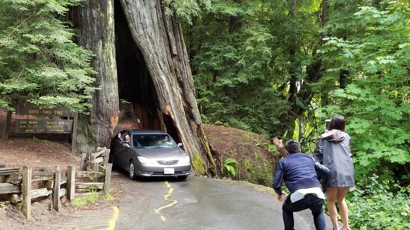
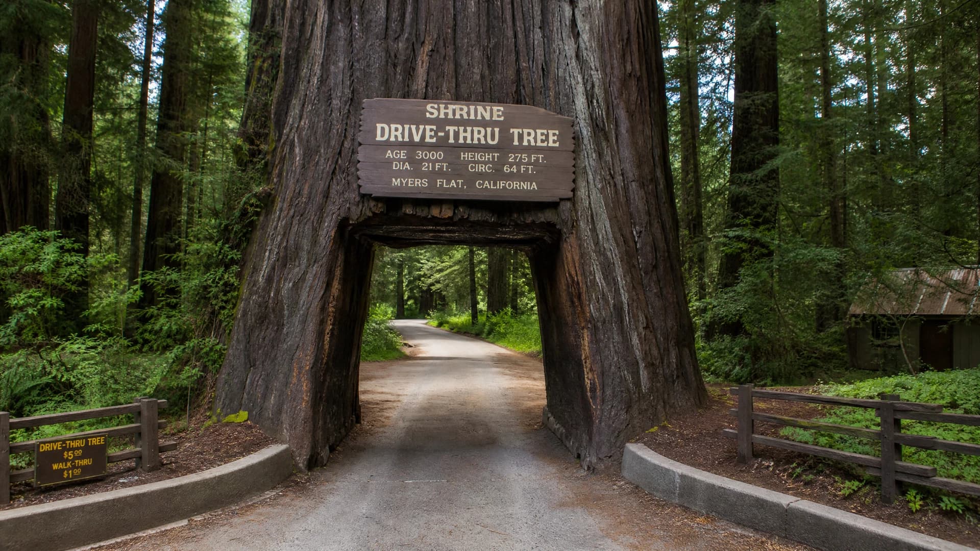
Enter the Avenue at Phillipsville and settle into the shaded two-lane rhythm before reaching Myers Flat. The privately operated Shrine Drive-Thru Tree is an optional seasonal stop, and its opening hours, fee and vehicle-clearance limits must be confirmed directly before arrival.

Distance
9 miles
Drive time
20 minutes driving, plus the optional stop
Myers Flat to the Visitor Center02

Day 1, Late Morning

Myers Flat to the Visitor Center

Orientation in the Redwoods

Continue north to the Humboldt Redwoods State Park Visitor Center for the current park map, interpretive exhibits, restrooms and local access guidance before entering the central groves.

Distance
4 miles
Drive time
10 minutes driving, plus 30 minutes inside

Complete Drive Pack

4 more rally points await.

The complete itinerary includes exact timings, road character, every stop and the downloadable roadbook.

Public preview · 2 of 6 rally points

Beyond the road

Worth stopping for.

Places selected because they belong to the journey, not because they happened to be nearby.

Food & wine

American Steakhouse$$$

Redwood Palace

Miranda (on the Avenue)

A family-friendly dinner restaurant directly on the Avenue in Miranda, with a current menu centered on steaks, seafood, burgers and seasonal items.

Booking note

The official site currently lists dinner from Wednesday through Saturday. Confirm the current schedule and reserve directly before relying on the stop.

Parking

Use the restaurant's signed lot and rejoin the Avenue only when the lane is clear.

Fine Dining / Seasonal$$$$

Benbow Inn Restaurant

Garberville (southern gateway)

The historic inn serves breakfast, a pub menu and dinner near Garberville, with service hours that change by season.

Booking note

Dinner reservations are suggested. Call or use the inn's current booking channel and reconfirm the service time before departure.

Parking

Use the inn's on-site restaurant and guest parking.

Café / Breakfast & Lunch$$

Woodrose Café

Garberville

A casual Garberville café serving breakfast and lunch from its Redwood Drive location.

Booking note

Confirm current opening days and hours directly before planning the stop; local schedules can change.

Parking

Use legal parking on or near Redwood Drive and allow time to walk.

Where to stay

Historic Inn$$$$

Benbow Historic Inn

Garberville

A 1926 historic inn on the Eel River near Garberville, with guest rooms, gardens, dining and easy access to the southern redwood corridor.

Parking

Use the on-site guest parking and confirm any EV charging or vehicle requirement before arrival.

Resort$$$

Miranda Gardens Resort

Miranda (on the Avenue)

A family-owned collection of rooms and cottages on the Avenue in Miranda, with gardens and a seasonal heated pool.

Parking

Use the on-site guest parking and follow the property's current arrival instructions.

Before departure

Know before you go.

Fuel and Charging

Begin in Phillipsville with enough fuel or charge for the full route and onward journey. Do not depend on a single service stop; confirm current facilities before entering the corridor.

Offline Route and Road Status

Download all six member stages and a second offline map. Check Caltrans QuickMap, Route 254 reporting and current park alerts before leaving reliable service.

Hours and Access

Reconfirm the Visitor Center, private tree attraction, restaurants and stays directly. The California Federation of Women's Clubs Grove road is currently closed to vehicles until further notice, with limited pedestrian day-use parking.

Forest, River and Trail Safety

Drive slowly for cyclists, pedestrians, wildlife, damp surfaces and vehicles entering pullouts. Follow river algae warnings, keep dogs only where park rules allow, and never enter a signed closure.

The complete journey

Take the full route with you.