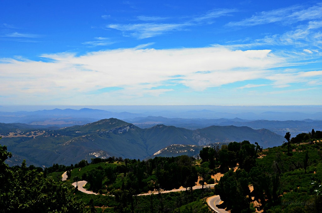
Palomar Mountain and Julian reward a slower plan. The roads are mountain roads, weather can change quickly and the useful stops are spread across separate stages. Start with access and time, then choose the road you actually want to drive.
Check conditions before choosing the route
Use Caltrans's current reports for SR 78 and SR 79 and QuickMap before leaving. For national-forest conditions, check the Cleveland National Forest alerts. Conditions, closures and traffic control can change after weather, fire activity or road works.
Do not use a navigation app as proof that a mountain road is open. Confirm the route separately, download offline mapping and leave enough fuel and daylight for the stages you choose.
Palomar Mountain is one stage, not a quick detour
The Palomar Mountain stage uses South Grade Road, the observatory approach and East Grade Road before the onward journey toward Temecula. Treat it as a concentrated mountain-drive section, with time for slower traffic, legal turnouts and changing visibility.
Palomar Observatory visitor arrangements are separate from road access. Check its official visitor information before setting out, and do not build the day around a visit until current opening details are confirmed.
Give Julian its own place in the plan
Sunrise Highway and the Route 79 approach to Julian are a distinct high-country stage. The road is exposed to wind, fog and seasonal conditions, so it works best when it has daylight and no fixed arrival deadline. Julian is a natural finish or overnight area rather than an extra stop to force into the Palomar section.
Keep tasting separate from driving
The wider San Diego Highlands journey also reaches Temecula. If a winery visit is part of the plan, arrange a non-drinking driver or other transport. Confirm each venue's current hours and reservation policy directly.
Use a route-specific roadbook
The San Diego Highlands Drive Pack separates Ortega Highway, Palomar Mountain and Sunrise Highway into their proper stages. Its public preview explains the route, preparation notes, inclusions and purchase options.
Official road and forest sources reviewed 15 October 2026. Road access, weather and venue availability can change.