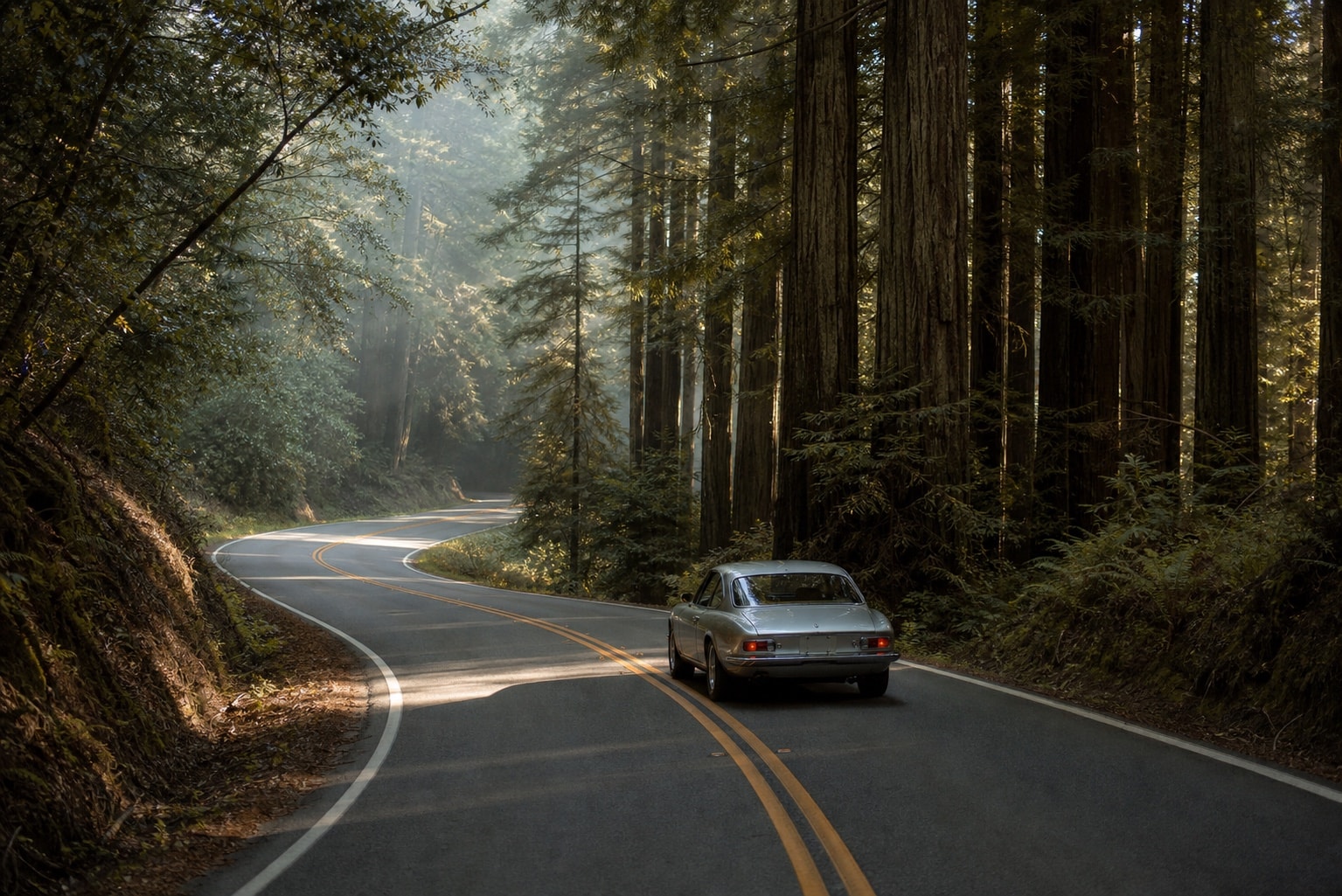
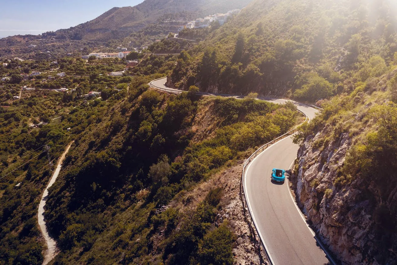
Skyline Boulevard is best treated as the ridge section of a wider Bay Area driving day. Pair it with the coast and redwoods only when the weather, road access and available daylight support the full point-to-point journey.
Start with the road you plan to use
Highway 35 is Skyline Boulevard. Check the Caltrans Highway 35 condition report and QuickMap shortly before departure, then check Highway 1, Highway 9, Highway 84 and Highway 92 separately if they are part of the day. Fog, works and mountain-road closures can change the practical route.
Build the day in sections
A useful full-day sequence starts around Half Moon Bay, climbs to Skyline Boulevard and Alice's, then descends through La Honda toward San Gregorio. From there, the coast runs through Pescadero and Santa Cruz before Highway 9 heads into the redwoods toward Los Gatos.
This is not a loop. The start, finish and transfers need their own allowance, particularly if you are travelling to the Peninsula from San Francisco or returning there after the drive.
Allow a full day
Skyline Boulevard alone can be a shorter plan. Adding the coast, lunch, viewpoints and Highway 9 makes it a full-day journey. Keep the schedule loose enough for low cloud, slower traffic and the stops that make the route worthwhile. An overnight around Santa Cruz can turn the same roads into a slower weekend rather than a rushed itinerary.
Prepare for the ridge and redwoods
Download navigation before leaving reliable signal, carry water and fuel according to the route you have confirmed, and use only legal places to stop. Check the specific road conditions again if weather changes while you are out.
Use a route-specific roadbook
The Bay Area Skyline Drive Pack brings the ridge, coast and redwood sections into one considered route. Its public preview explains the itinerary, inclusions and individual purchase options.
Official road sources reviewed 15 October 2026. Conditions, access and travel times can change.