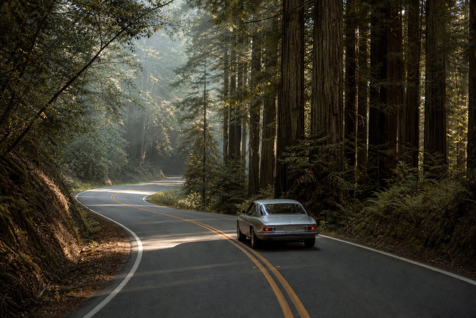

The route
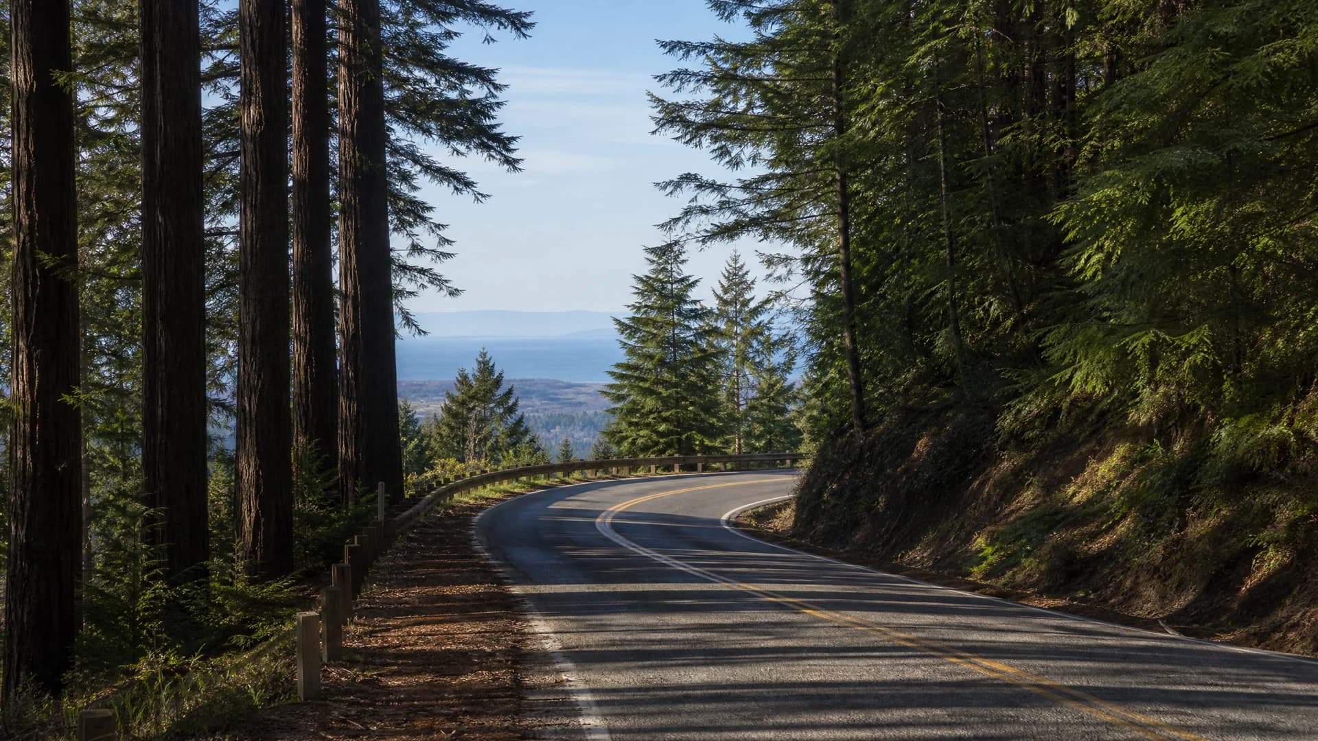
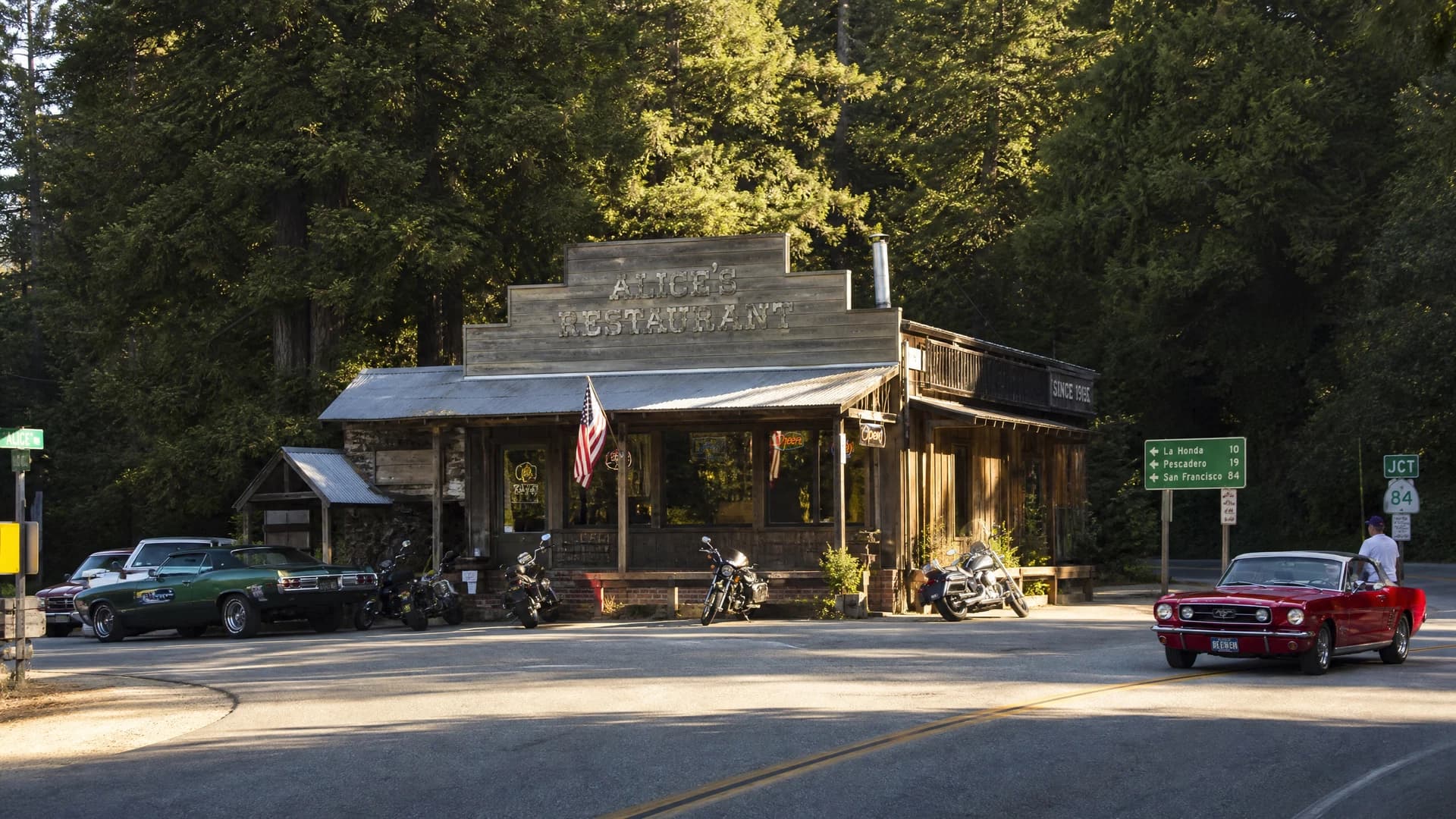
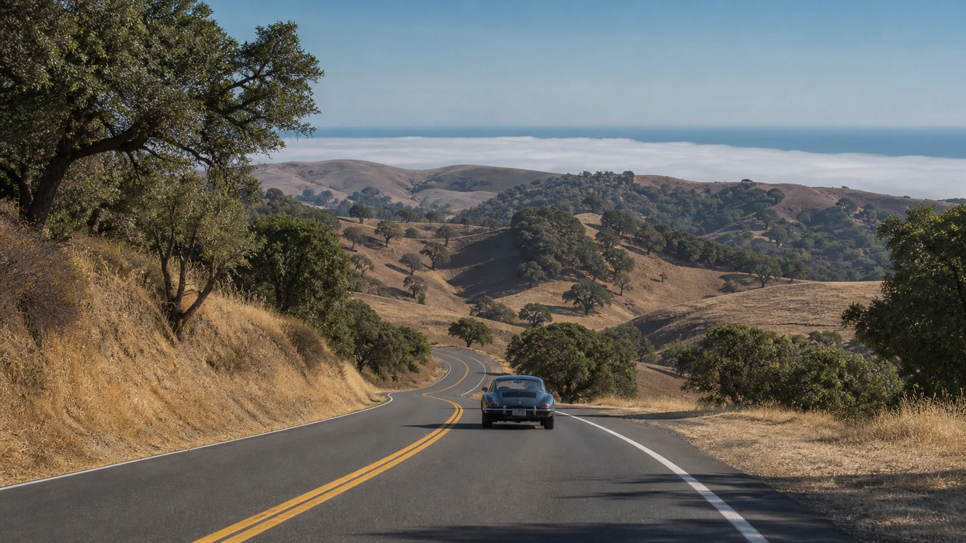
The Bay Area Skyline is a verified 119-mile, one-day drive connecting the San Mateo coast with the Santa Cruz Mountains. It begins in Half Moon Bay, crosses Highway 92 to Skyline Boulevard, reaches Alice's at the Highway 84 junction, then descends through La Honda to San Gregorio.
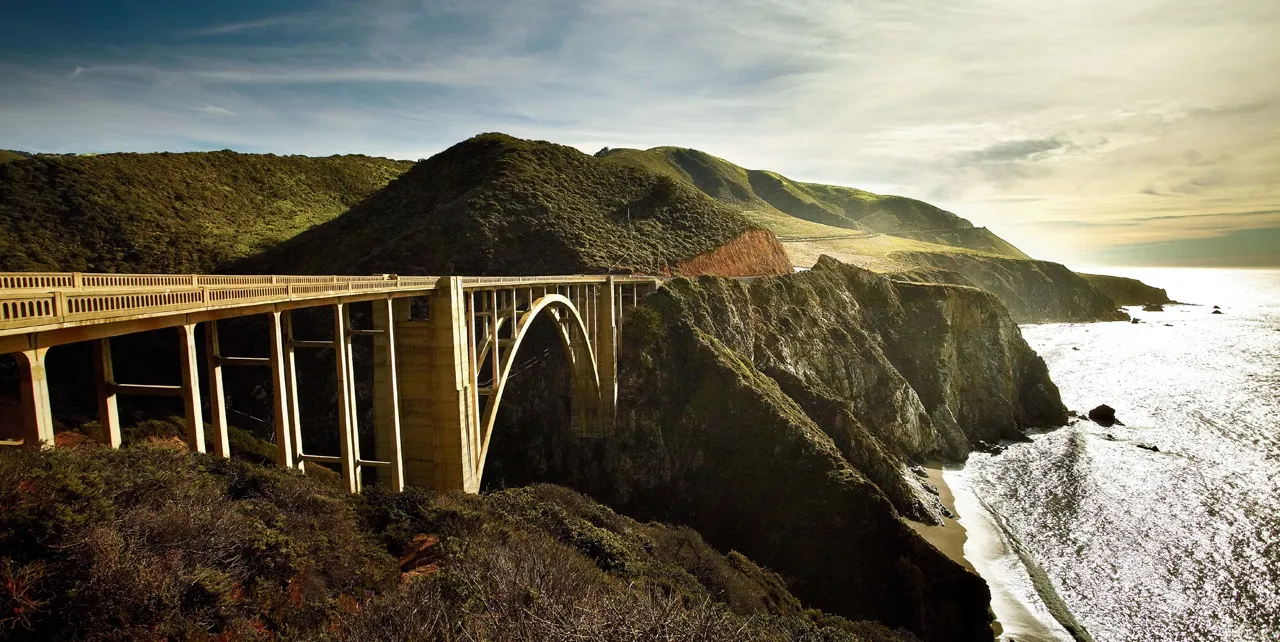
From the coast, the route follows Highway 1 south through Pescadero and Davenport to Santa Cruz. The final stage climbs Highway 9 through Felton, Boulder Creek and Saratoga Gap before finishing in Los Gatos. This replaces an inherited itinerary that sent drivers in contradictory directions and omitted the long coastal connection to Highway 9.
Spring and autumn usually provide the best balance of visibility, daylight and traffic. The route can work outside those seasons, but fog, rain, fire restrictions and road works can change conditions quickly. Check Caltrans before departure and keep all tasting separate from the driving day.